Winter Storm Warning is active in Haines Borough, Alaska, on November 9, 2026, with 8–12 inches of snow possible near the Haines Highway border crossing. Other Alaska communities have winter weather advisories, while the Lower 48 has no active winter storm warning in the latest national summary.
TL;DR
- Main warning area: Haines Borough, Alaska, where 8–12 inches of snow are possible through Monday evening.
- Other affected areas: Parts of Alaska, including Skagway, Anchorage, the Kenai Peninsula and Turnagain Pass, have separate winter weather advisories.
- Travel concerns: Heavy snow, freezing rain, strong winds and reduced visibility could make some Alaska roads hazardous. No active winter storm warning is listed for the Lower 48.
Which States Are Affected by the Winter Storm Warning Today?
Alaska is the only state with an active winter storm warning in the latest National Weather Service national alert summary for November 9. The warning covers Haines Borough and the upper Haines Highway near the Canadian border.
This distinction matters because several online headlines mention Minnesota, Idaho, Maine, Connecticut and West Virginia. Those states should not be described as being under an active winter storm warning based on the latest national alert information.
Other parts of Alaska are dealing with winter weather advisories, which are separate alert categories. These advisories can still involve difficult driving conditions, snow, freezing rain and strong winds.
The current situation is therefore more localized than a nationwide winter storm. Anyone travelling in Alaska should check the specific forecast for their highway or community rather than assuming every part of the state faces the same conditions.
Where Is the Winter Storm Warning Active in Alaska?
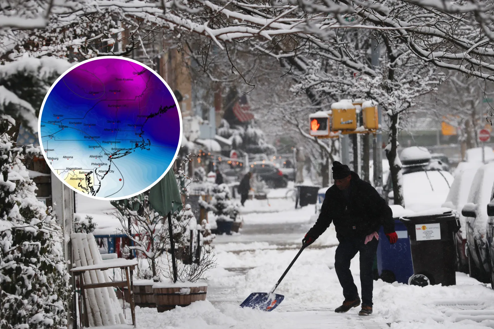
The active Winter Storm Warning covers the upper elevations of the Haines Highway near Haines Customs and the Haines Border Crossing. The National Weather Service Juneau office expects heavy snowfall in this area.
The warning remains in effect until 6 p.m. Alaska Standard Time on Monday, November 9. Forecast snowfall totals are between 8 and 12 inches, with snow levels expected to rise during the day.
The most important travel concern is the possibility of difficult conditions along the highway. Heavy snow can cover road markings, reduce visibility and make it harder for vehicles to maintain traction.
The NWS recommends carrying an extra flashlight, food and water if travel is necessary. Drivers should also check Alaska’s official road-condition service before leaving.
How Much Snow Is Expected in Affected Areas?
Snowfall amounts vary considerably across Alaska Winter Storm Warning. Some locations are expected to receive several inches, while higher elevations and mountain passes could see heavier accumulations.
Here is a breakdown of the main areas mentioned in current winter weather alerts:
| Location | Alert or forecast | Expected conditions |
| Haines Borough | Winter Storm Warning | 8–12 inches of snow |
| Skagway and White Pass | Winter Weather Advisory | 4–6 inches of snow |
| Thompson Pass | Blizzard Warning reported | 8–16 inches possible |
| Anchorage and Lower Matanuska Valley | Winter Weather Advisory | Up to 2 inches and a light glaze of ice |
| Kenai Peninsula | Winter Weather Advisory | 1–8 inches and possible ice |
| Turnagain Pass | Winter Weather Advisory | 3–10 inches, with possible ice |
These are forecast amounts, not confirmed snowfall measurements. Actual totals may change as the storm develops, particularly where temperatures and precipitation types are uncertain.
The Thompson Pass forecast is especially important for drivers because blowing snow can reduce visibility even when snowfall is not particularly heavy.
Could Freezing Rain Make Roads More Dangerous?
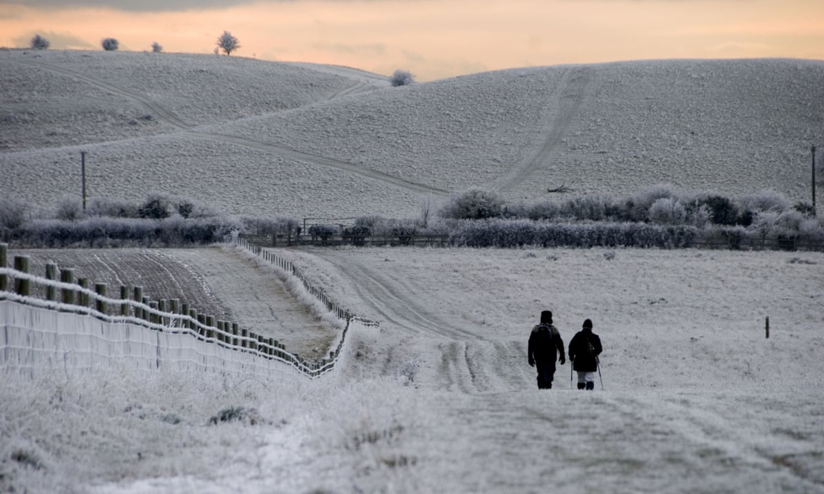
Yes. Freezing rain can create a thin layer of ice on roads, bridges and overpasses, making driving dangerous even when the surface does not look particularly slippery.
Parts of the Anchorage area, Matanuska Valley and Winter Storm Warning Kenai Peninsula could experience a mixture of snow, freezing rain and rain. The exact timing of the change from snow to rain remains an important forecast factor.
Bridges and elevated road sections can freeze before ordinary roads because cold air reaches them from multiple directions. Drivers may encounter black ice without seeing an obvious layer of snow.
Strong winds add another problem. Gusts of around 45–50 mph are possible in some advisory areas, with higher gusts forecast in parts of Alaska’s coastal and mountain regions.
People travelling through these areas should slow down, increase following distances and avoid sudden braking. If road conditions become unsafe, delaying the journey is often the better decision.
Will the Winter Storm Affect Flights and Road Travel?
The biggest travel concerns are concentrated in Alaska, particularly around the Haines Highway, mountain passes and areas receiving mixed precipitation. Snow, ice and blowing snow can make driving difficult and may affect transportation schedules.
Air travel can also be affected when heavy snow, Winter Storm Warning strong winds or reduced visibility interfere with airport operations. However, a weather alert does not automatically mean that flights will be cancelled.
Passengers travelling through Alaska should check directly with their airline for departure changes. Road travellers should consult the Alaska Department of Transportation’s 511 service for current highway information.
For drivers, it is worth preparing for unexpected delays. Keep a charged phone, warm clothing, food, water and an emergency light in the vehicle. Do not rely entirely on navigation apps because they may not reflect newly closed roads or rapidly changing conditions.
Outside Alaska, the latest national winter storm warning summary does not show an active warning for the Lower 48. Travellers in other states should still monitor their local forecasts because ordinary rain, wind and cold weather can also affect journeys.
Are Minnesota, Idaho, Maine, Connecticut and West Virginia Under a Winter Storm Warning?
No active winter storm warning for these five states appears in the latest national alert summary for November 9, 2026. Reports mentioning them may be referring to broader weather forecasts or possible winter conditions rather than current official warnings.
Maine and parts of the Northeast could see changing temperatures and precipitation later in the week. Some higher elevations may have a better chance of seeing snow than coastal locations.
West Virginia and parts of the Appalachian region can also experience early-season snow when colder air arrives. However, the exact amount and location depend on the eventual storm track.
Minnesota and Idaho may experience cold conditions or local winter weather at different times, but that does not mean a statewide winter storm warning is active.
The National Weather Service alert system is the best source for determining whether a warning applies to a particular county or community. Readers should avoid relying on a headline alone.
Could Another Winter Storm Hit the Northeast Later This Week?
Forecasters are monitoring a possible weather system that could affect parts of the eastern United States later in the week, around November 12–14. However, its track, precipitation type and snowfall potential remain uncertain.
A developing Winter Storm Warning low-pressure system could bring rain, gusty winds and colder conditions to parts of the Ohio Valley, Mid-Atlantic and Northeast. Higher elevations may have a better chance of seeing accumulating snow if temperatures fall enough.
The National Weather Service Weather Prediction Center’s November 9 discussion placed the probability of significant snow and ice across the contiguous United States below 10% for its November 9–12 forecast period.
That information does not rule out later changes. It simply means that widespread significant snow and ice were not expected across the Lower 48 during that particular forecast window.
A possible late-week storm should not be confused with an active winter storm warning today. Forecasts become more useful for specific travel decisions as the event gets closer.
What Should You Do If You Need to Travel During a Winter Storm Warning?
The safest choice is to avoid unnecessary travel through areas experiencing heavy snow, ice or blizzard conditions. If a journey cannot be postponed, checking official road and weather updates before departure is essential.
A few practical steps can reduce the risk:
- Check the latest National Weather Service alert for your exact location.
- Look at road closures and highway conditions before setting out.
- Carry warm clothing, water, food and an emergency flashlight.
- Keep your mobile phone charged and take a charging cable.
- Clear snow and ice from all windows, mirrors and lights.
- Drive slowly and leave extra space between vehicles.
- Avoid travelling through mountain passes during periods of poor visibility.
- Never approach fallen power lines.
A winter storm warning means conditions are expected to create significant hazards. It should be treated seriously, particularly when heavy snow combines with strong winds or freezing rain.
What Is the Difference Between a Winter Storm Watch, Warning and Advisory?
These weather alerts communicate different levels of certainty and expected impact. Understanding the wording helps people decide when to prepare and when to avoid travel.
| Alert type | Meaning | What you should do |
| Winter Storm Watch | Significant winter weather is possible | Prepare and monitor updates |
| Winter Storm Warning | Significant winter weather is occurring or expected | Avoid unnecessary travel and follow safety advice |
| Winter Weather Advisory | Winter conditions may cause inconvenience or travel difficulties | Use extra caution and check local forecasts |
| Blizzard Warning | Strong winds and blowing snow may create very low visibility | Avoid travel where possible |
The exact criteria for issuing alerts can vary by location and weather conditions. A winter weather advisory should not be ignored simply because it is not a warning.
Frequently Asked Questions
1. Where is the winter storm warning today, November 9, 2026?
The active winter storm warning is in Haines Borough, Alaska, covering the upper Haines Highway near the Canadian border. The warning is scheduled to remain active until 6 p.m. Alaska Standard Time.
2. How much snow will Alaska receive?
The Haines Highway area could receive 8–12 inches of snow. Other locations, including mountain passes and parts of the Kenai Peninsula, have different snowfall forecasts under separate winter weather alerts.
3. Are any Lower 48 states under a winter storm warning today?
The latest national alert summary does not list an active winter storm warning in the Lower 48. Conditions can change, so residents should check their local National Weather Service office for updated alerts.
4. Is it safe to drive during a winter storm warning?
Driving may be dangerous because heavy snow, ice and strong winds can reduce visibility and vehicle traction. Avoid unnecessary journeys, follow official road updates and delay travel when conditions become unsafe.
Final Thoughts
The November 9, 2026, winter storm warning is focused on Haines Borough, Alaska, where 8–12 inches of snow could affect the upper Haines Highway. Other Alaska communities face separate advisories involving snow, ice and strong winds.
Although headlines may suggest a wider winter storm affecting several US states, the latest national alert summary does not show an active winter storm warning in the Lower 48. A possible weather system later in the week is still being monitored, but its snow potential remains uncertain.
For the latest decisions about travel, use official National Weather Service alerts and state road-condition services. Weather warnings can change quickly, and checking the forecast for your exact location is more useful than relying on a general national headline.